GPS Accuracy and What Affects It
The advertised location accuracy of most GPS trackers less than 3 meters. GPS Accuracy can vary outside this standard deviation based on environmental factors such tree cover, tall buildings, GPS antenna used, device engineering and GPS device install location.
GPS Accuracy Related to Speed
Speed accuracy is something we do not put a lot of thought into but speed accuracy can vary quite a bit. The GPS tracker and the GPS on your phone is more accurate than the speedometer on your vehicle. The older the vehicle, the less accurate the speedometer is.
Speed is significantly impacted by changing the factory tire size. Wear changes the tread depth and size of a tire over time. An old tire is not as large as a new tire so the axle spins faster giving a false speed.
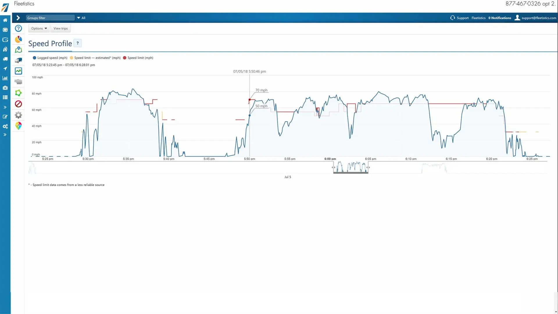
To determine speed accuracy from the GPS tracking map, scroll your mouse over the map route leading up to the speeding incident if you are using Geotab. Other GPS trackers will not be as accurate and do not have as much data.
If the vehicle speed gradually increases, it is valid data. If the speed jumps from 40 to 85 with nothing in between, it would be difficult to hold a driver accountable for this because data is missing between these two points.
Posted Road Speed (PRS) Accuracy
Posted road speed varies from super accurate based on Fleetistics testing, to occasionally not so accurate. It is far more accurate than it was 5 years ago. I have driven past speed limit signs and watched the data change in Waze within feet.
Generally, the more populated the area, the more accurate the data because there is a greater chance someone will submit a correction or from mapping cameras that frequent these areas more often. PRS is only as accurate as the data provided by the government, data that is submitted by citizens or AI, and the data set selected by the GPS tracking company.
Cameras with artificial intelligence are helping reduce the time between a speed change, or new sign going in, and the time until it enters the data set. Citizens can submit corrections to the mapping companies which will be included fairly quickly.
I submitted a road through the heart of Tucson, AZ to OpenStreetMaps and it was updated quickly which eliminated a lot of speeding exceptions. A submission to Google was live within two days. Highway speeds and primary surface roads are generally very accurate but it can vary by state.
In short, you have to validate exceptions.
Employees
Often times employees will claim the GPS accuracy is incorrect. Performing the two tests below will give you the confidence that the GPS is more accurate than the employees description. If you have to, do the test in the vehicle with the employee. If the GPS tracker is off, and it happens occasionally because of external factors, the deviation is typically so great it is obvious.
Since 2001 Fleetistics has not seen a situation when the deviation is consistently X and you cannot tell something is wrong. The deviation is generally 30x and the vehicle plots in the ocean or 250 miles away for 1 or 2 data points, the speed goes to 321 MPH to cover this distance and then the plot comes back to the expected route. This is typical of a reflected GPS signal most often seen going under an overpass. Most of the time the GPS device filters this data because it cannot be valid.
If the track follows the road, the data is accurate. Accuracy is one of Geotab’s strongest features.
Accuracy Testing
Below are two tests you can conduct to get a feel for the accuracy for a particular vehicle. The question is what is the business case where the accuracy is in question?
Speed Test: Set the speed buzzer on your Geotab GPS device at 70 MPH and take a drive. Open WAZE and view the speed Waze indicates you are traveling and compare it to your speedometer. Waze will be more accurate reading because it is not impacted by tire size and other environmental factors. This will determine your speedometers margin of error. Increase your speed at a normal rate until you reach the speed set on your Geotab device. When the buzzer goes off compare it to Waze and your speedometer. You will now know the margin of error for the Geotab device in relation to your speedometer.
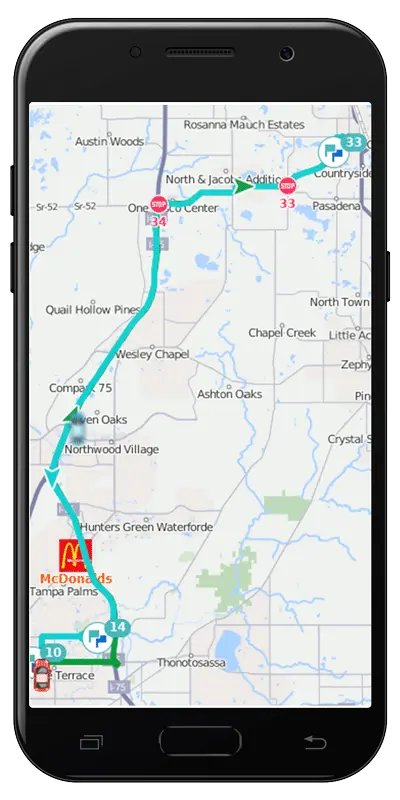
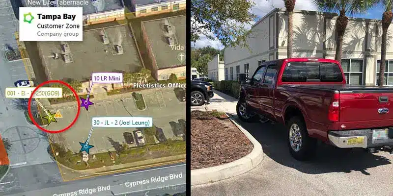
Location Test: Park your vehicle in a particular parking space. Open Geotab, change to satellite view and see if your vehicle is plotted correctly. This will show the accuracy. Below is the picture from my truck today. It is showing the correct parking space and even the GPS being on the left side of the parking space. I would estimate this is within 2 feet of the actual GPS location inside my truck.

